Port Vila CBD Geotechnical Guidance
New geotechnical information has been developed to support safer, better-informed rebuilding and development across the Port Vila CBD following the December 2024 earthquake.
The guidance provides practical information on ground conditions and key earthquake-related hazards across the CBD.
Property owners, businesses, developers, engineers, planners and other stakeholders are encouraged to explore the draft Geotechnical Guidance Handbook and Geotechnical Hazard Portal and provide feedback.
For enquiries or further information:
VIEW GEOTECHNICAL GUIDANCE & HAZARD PORTAL
The Vision and Concept Plan for the recovery of Port Vila’s central business district (CBD) was developed following the 7.3 magnitude earthquake that struck Efate Province in December 2024. The disaster caused severe damage, leading to the demolition of 25 buildings and the complete closure of the CBD for nearly four months. This disruption affected nearly all aspects of daily life, commerce, and tourism, underscoring the vulnerability of Port Vila to earthquakes and other natural hazards.
The plan positions this recovery period as an opportunity for renewal—rebuilding not only physical assets but also reimagining the CBD as a more sustainable, resilient, and vibrant hub. It proposes solutions to long-standing challenges such as flooding, traffic congestion, and service provision, while integrating risk-informed design, open space preservation, improved mobility, and greener development. The goal is to strengthen economic activity, enhance inclusivity, and celebrate Port Vila’s cultural identity.
Developed by the Department of Urban Affairs and Planning (DUAP), Port Vila City Council (PVCC), and partners including the World Bank, the plan draws on extensive consultations with government, private sector, and community stakeholders. It identifies priority projects for both short- and long-term implementation, ensuring that reconstruction aligns with national frameworks and community aspirations. The Vision and Concept Plan serves as a guide for decision-makers and investors to “build back better” and secure a stronger future for Port Vila.
- Details
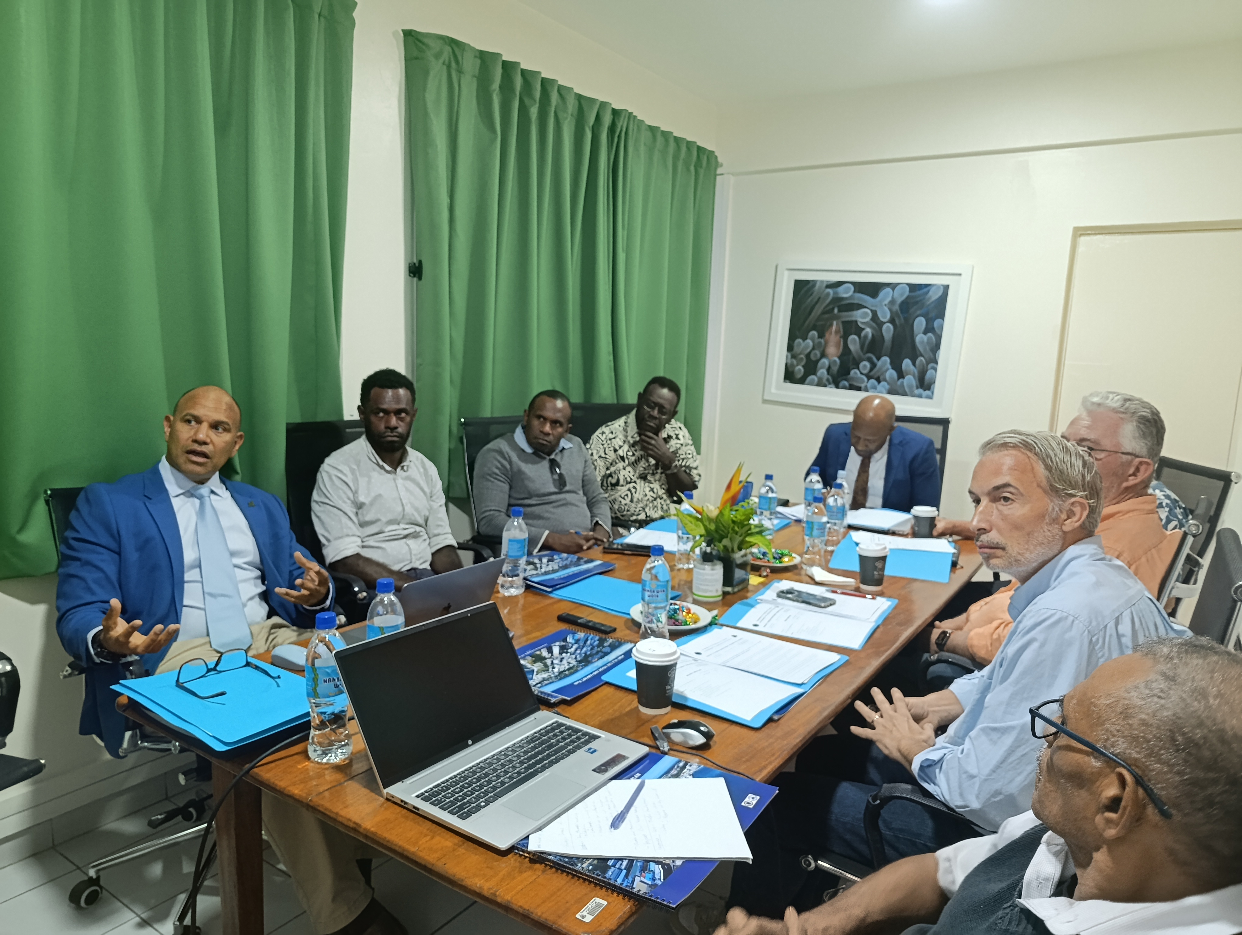
VFIPA Board Briefed on Port Vila CBD Rebuild to support investment
Promoting Safe, Quality and Resilient Construction
Welcome to the Building Standards section of the Department of Urban Affairs and Planning (DUAP).
This portal provides access to the building codes, standards, technical guidelines, and regulatory requirements that support safe, durable, and sustainable construction throughout Vanuatu.
Building standards play a vital role in protecting communities, ensuring that buildings are designed and constructed to meet minimum requirements for structural integrity, health and safety, accessibility, fire protection, and resilience to natural hazards. By establishing clear and consistent requirements, these standards help create a built environment that is safe, functional, and capable of supporting the long-term development of the nation.
As Vanuatu continues to grow and develop, adherence to building standards is essential for reducing risks associated with cyclones, earthquakes, flooding, volcanic activity, and other environmental challenges. These standards also promote quality construction practices, safeguard public welfare, and contribute to the creation of sustainable and resilient communities.
Whether you are a building practitioner, architect, engineer, contractor, developer, government official, homeowner, or student, this section provides the information and resources needed to understand and comply with Vanuatu's building requirements.
Managing Growth, Guiding Development
Welcome to the Zoning & Development Control Plan (ZDCP), a key planning tool used by the Department of Urban Affairs and Planning (DUAP) to guide and manage land use and development across designated planning areas in Vanuatu.
The Zoning & Development Control Plan establishes a clear framework for how land can be used and developed, ensuring that growth occurs in a coordinated, sustainable, and responsible manner. By identifying land use zones and setting development standards, the Plan helps create well-planned communities that support economic development, environmental protection, public safety, and community wellbeing.
The ZDCP provides guidance on a range of development matters, including land use zoning, building setbacks, site coverage, building heights, parking requirements, environmental considerations, and other development controls. These regulations help ensure that new developments are compatible with surrounding land uses, respect community character, and contribute positively to the urban and rural environment.
The Plan serves as an important resource for developers, landowners, investors, consultants, government agencies, and the public, providing transparency and certainty in the development assessment process. It also supports DUAP's commitment to promoting resilient, inclusive, and sustainable development throughout Vanuatu.
Geotechnical Assessment and Guidance
Draft Port Vila CBD Geotechnical Guidance
New geotechnical information has been developed to support safer, better-informed rebuilding and development across the Port Vila CBD following the December 2024 earthquake.
The draft guidance provides practical information on ground conditions and key earthquake-related hazards across the CBD.
Property owners, businesses, developers, engineers, planners and other stakeholders are encouraged to explore the draft Geotechnical Guidance Handbook and Geotechnical Hazard Portal and provide feedback.
The Handbook and Hazard Portal are currently in draft consultation form and have not yet been finalised.
For enquiries or further information:
VIEW DRAFT GEOTECHNICAL GUIDANCE & HAZARD PORTAL
Please link it to: