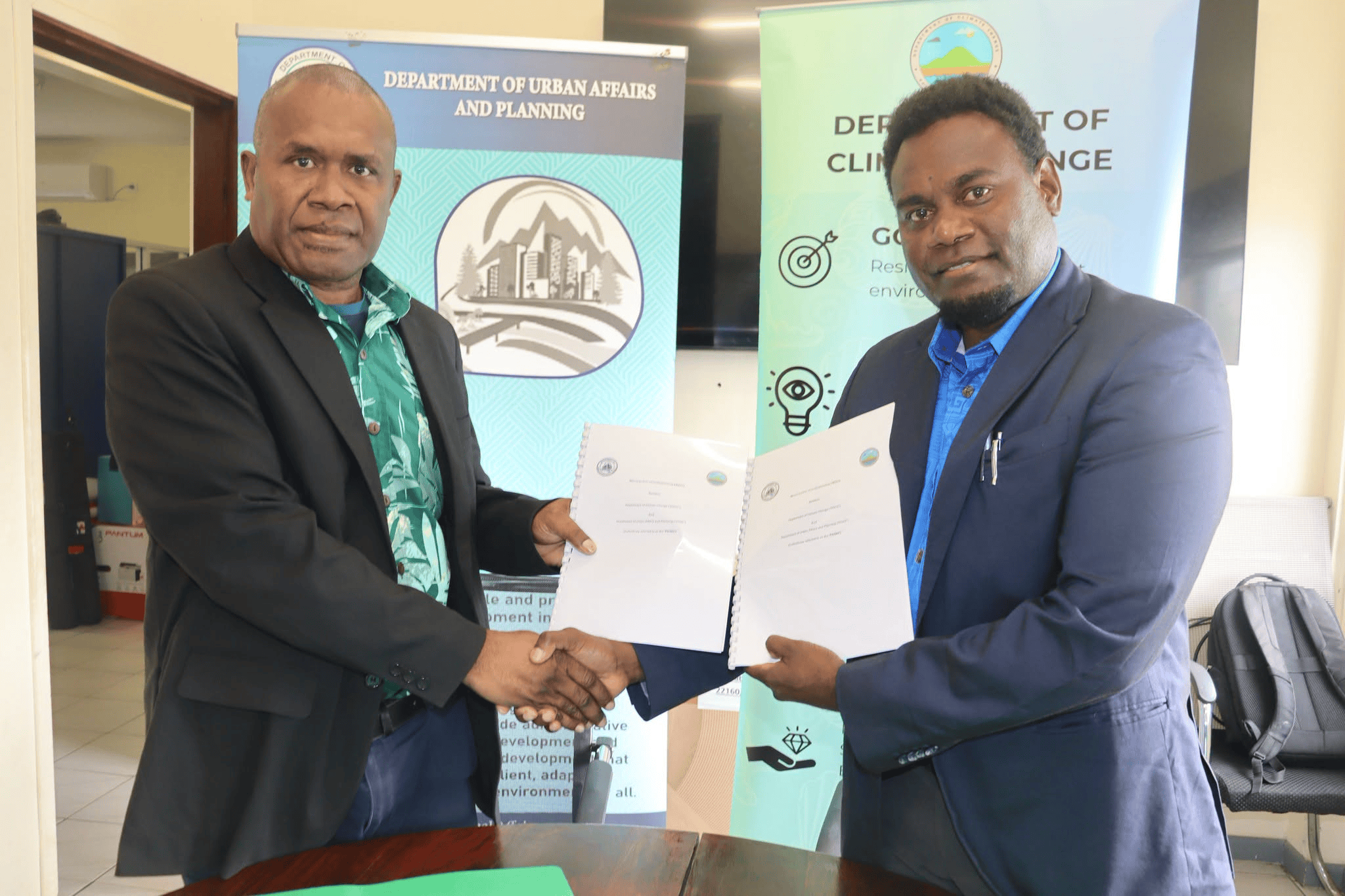
 DUAP and Department of Climate Change Directors mark the signing of a three-year MOU to strengthen data sharing, technical cooperation and climate-informed urban planning.
The Department of Urban Affairs and Planning (DUAP) and the Department of Climate Change (DoCC) signed a Memorandum of Understanding on Friday, 25 September 2026, to share data and strengthen technical cooperation.
The three-year agreement will help both departments use reliable mapping, climate and hazard information to improve urban planning, prepare for climate impacts and reduce disaster risks.
The partnership supports the sharing, management and use of Light Detection and Ranging (LiDAR) data and other mapping information. LiDAR measures land height and surface features, helping planners understand the landscape and assess risks.
DUAP will use climate, hazard and mapping information to develop urban plans and policies and guide planning decisions. DoCC will use accurate mapping information to support national climate planning and projects that help communities and infrastructure cope with climate impacts.
The departments will also cooperate on hazard mapping, identifying people and assets at risk, and supporting emergency planning and recovery. Their work includes developing planning tools and mapping vulnerable infrastructure and essential assets.
Joint training and knowledge sharing will strengthen staff skills in Geographic Information Systems and remote sensing, which uses satellite or aerial images to study the land. The departments will also identify opportunities for joint projects and funding.
By making reliable information easier to access and use, the partnership will support evidence-based decisions and closer coordination between urban planning and climate resilience work.